LPA likely to bring rains in parts of Bicol, VisMin
LPA likely to bring rains in parts of Bicol, VisMin | Pinakabagong Balita sa Pilipinas
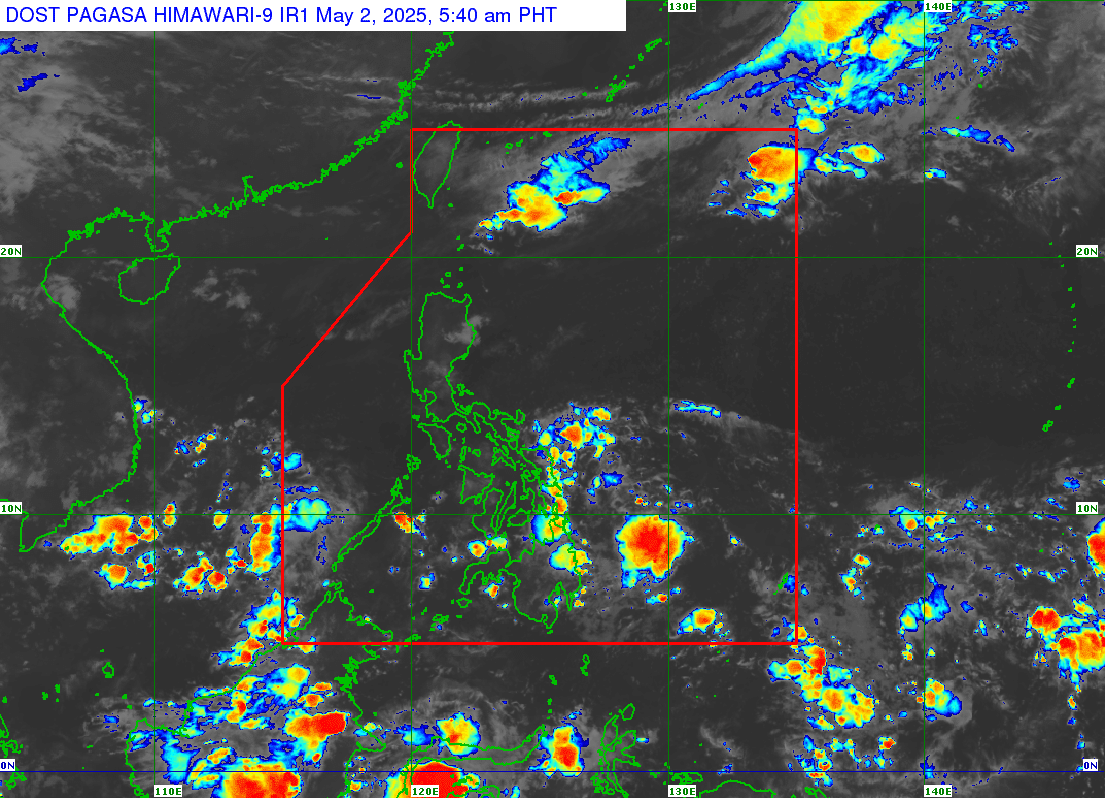
LPA likely to bring rains in parts of Bicol, VisMin — Satellite image taken at 5:40 a.m. on May 2, 2025. — Photo from the Philippine Atmospheric, Geophysical and Astronomical Services Administration Satel...
Satellite image taken at 5:40 a.m. on May 2, 2025. — Photo from the Philippine Atmospheric, Geophysical and Astronomical Services Administration
Satellite image taken at 5:40 a.m. on May 2, 2025. — Photo from the Philippine Atmospheric, Geophysical and Astronomical Services Administration
MANILA, Philippines — A low-pressure area (LPA) east of the country is expected to bring rains over parts of Bicol Region as well as the Visayas and Mindanao on Friday, May 2, the Philippine Atmospheric, Geophysical and Astronomical Services Administration (Pagasa) said.
LPA “5a” was last spotted 440 kilometers east of Hinatuan, Surigao del Sur as of early morning Friday, Pagasa weather specialist Grace Castañeda said in the agency’s weather forecast.
Cloudy skies with scattered rain showers are likely in the provinces of Catanduanes, Albay, Sorsogon and Masbate due to the LPA, Castañeda detailed.
Pagasa also projected that the LPA will bring rain showers over the regions of Central Visayas, Eastern Visayas, Northern Mindanao, Davao Region and Caraga.
“These rains will be moderate to at times heavy that may cause flooding and landslides,” Castañeda explained in Filipino.
READ:Low-pressure area spotted east of Mindanao — Pagasa
As for the rest of the Visayas and Mindanao, according to Pagasa, scattered rain showers were expected due to the intertropical convergence zone (ITCZ), or the area where winds from the northern and southern hemispheres meet.
On the other hand, Castañeda said Metro Manila and the rest of Luzon will experience partly cloudy to cloudy skies on Friday.
“Our weather will be warm and humid. We also have the possibility of isolated or sudden rain showers and thunderstorms due to the easterlies,” she added.
The easterlies, or warm winds from the Pacific Ocean, are also expected to bring isolated rain showers over Palawan, according to Pagasa.
Castañeda said the LPA had a low chance of becoming a tropical cyclone in the next 24 hours.
“Based on our latest analysis, this low pressure area we’re monitoring will possibly approach our landmass and, in the coming days, will possibly traverse the Visayas area towards the area west of Palawan,” she added.
Despite the LPA, Pagasa raised no gale warning over the country’s seaboards.
Subscribe to our daily newsletter
By providing an email address. I agree to theTerms of Useand acknowledge that I have read thePrivacy Policy.
According to the agency’s forecast, sea conditions across the country will be slight to moderate, with waves reaching between 0.6 to 1.8 meters.
Subscribe to our newsletter!
By providing an email address. I agree to theTerms of Useand acknowledge that I have read thePrivacy Policy.